Analyzing Maps
Tuesday, July 24, 2012
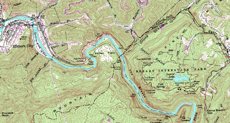
DRG Map
http://www.virginiaplaces.org/boundaries/graphics/kybreaks.gif
A digital raster graph is a scanned copy of a topographic map which is very common when viewing Geological survey topographic maps online. These maps should be used only for technical and historical use only.
No comments:
Post a Comment
Newer Post
Older Post
Home
Subscribe to:
Post Comments (Atom)
No comments:
Post a Comment