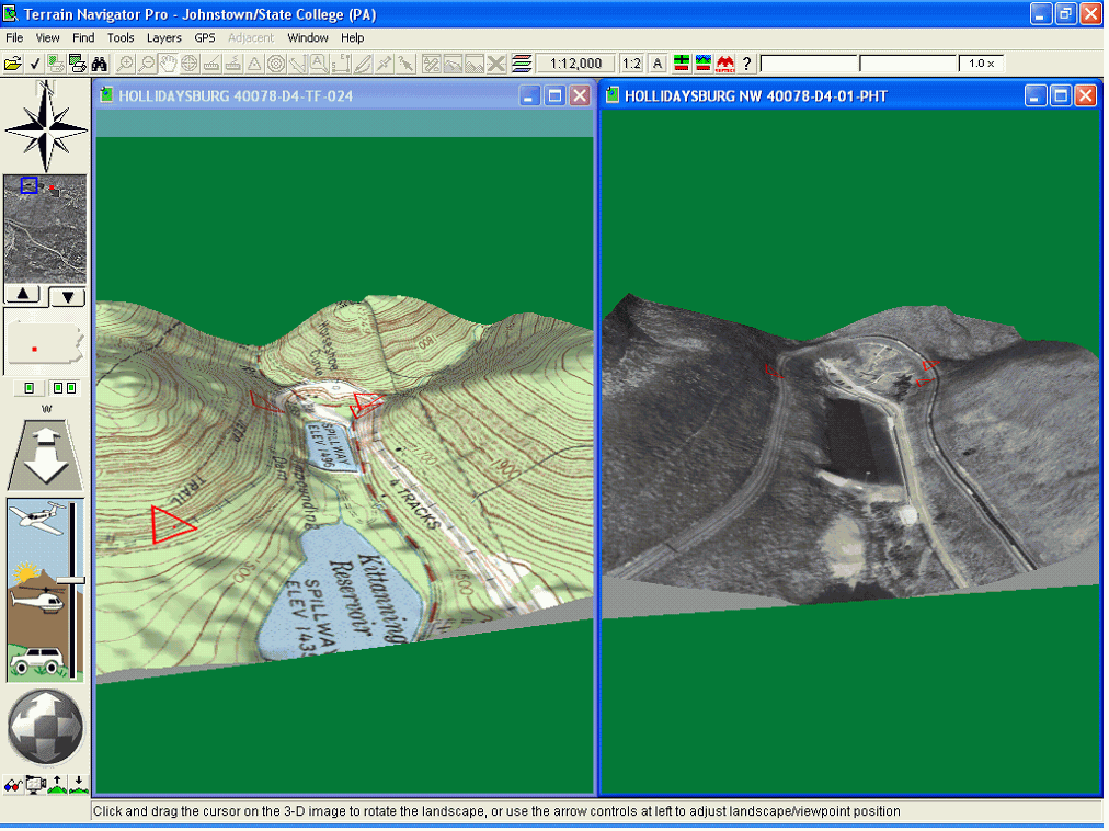
A digital raster image of an aerial photo where displacements and terrain have been removed. It combines the qualities of a picture with a map to increase its quality and results. Serves as a backdrop for vector data. The example above shows how the map would look without the aerial photo incorporated and then the second picture show the map and photo blended which gives a more realistic view of the area.
No comments:
Post a Comment