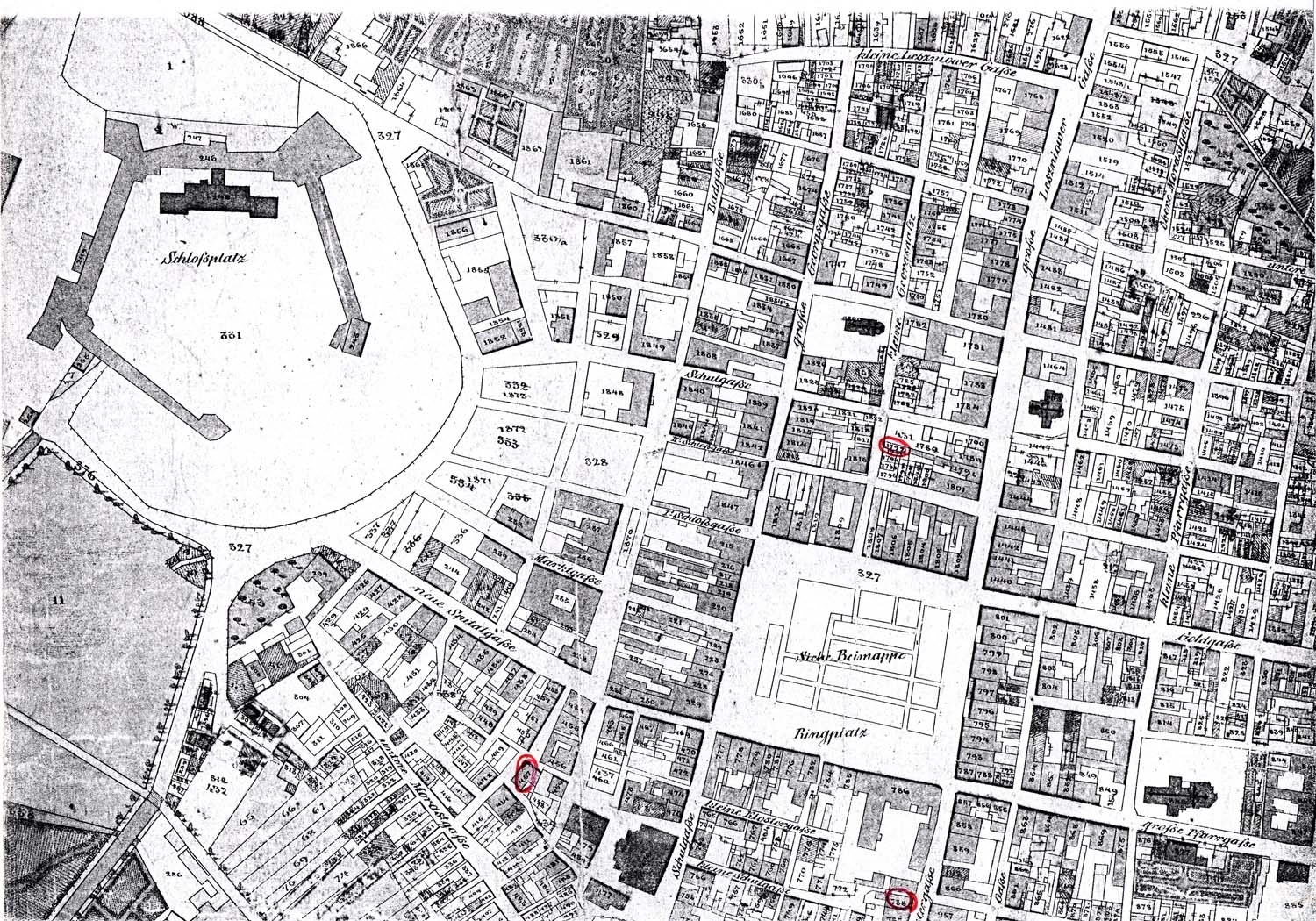
http://kehilalinks.jewishgen.org/brody/sherins_cadastral_map1.JPGThis type of map uses detailed information about property or land areas usually outlining land parcels and ownership. The government uses these maps a lot to generate city loads and capacity standards for populated areas. Above is typical land parcel layout of a city.
No comments:
Post a Comment